
During the age of exploration, the most important member of a ship’s crew was not the captain, it was easily arguable the navigator instead. Consider this, when a ship’s crew mutinied, they were willing to kill the captain but they would be left adrift if they killed the guy with knowledge of their location and direction. Those with knowledge of charts could receive fame and fortune for their ability. In this day and age, everyone fancies himself a navigator with their smart-phone GPS and onboard navigation system in their vehicle.
Reading maps has fallen by the wayside when technology steps in. It’s easy to believe technology is all we need to understand a location and how to move about it. What people fail to understand is the importance of old-school map reconnaissance and intelligence gathering in the present world climate. The navigator of yesteryear was not as important as his charts if someone else could read them. You see, regardless of the era, a map has an incredible amount of information if someone knows how to read it. Today, maps can be customized with information useful for our travels afield as well as our security. As you’ll read, a good map can still be the matter of life or death in the present day much like it was during the adventurous 15th and 16th centuries. 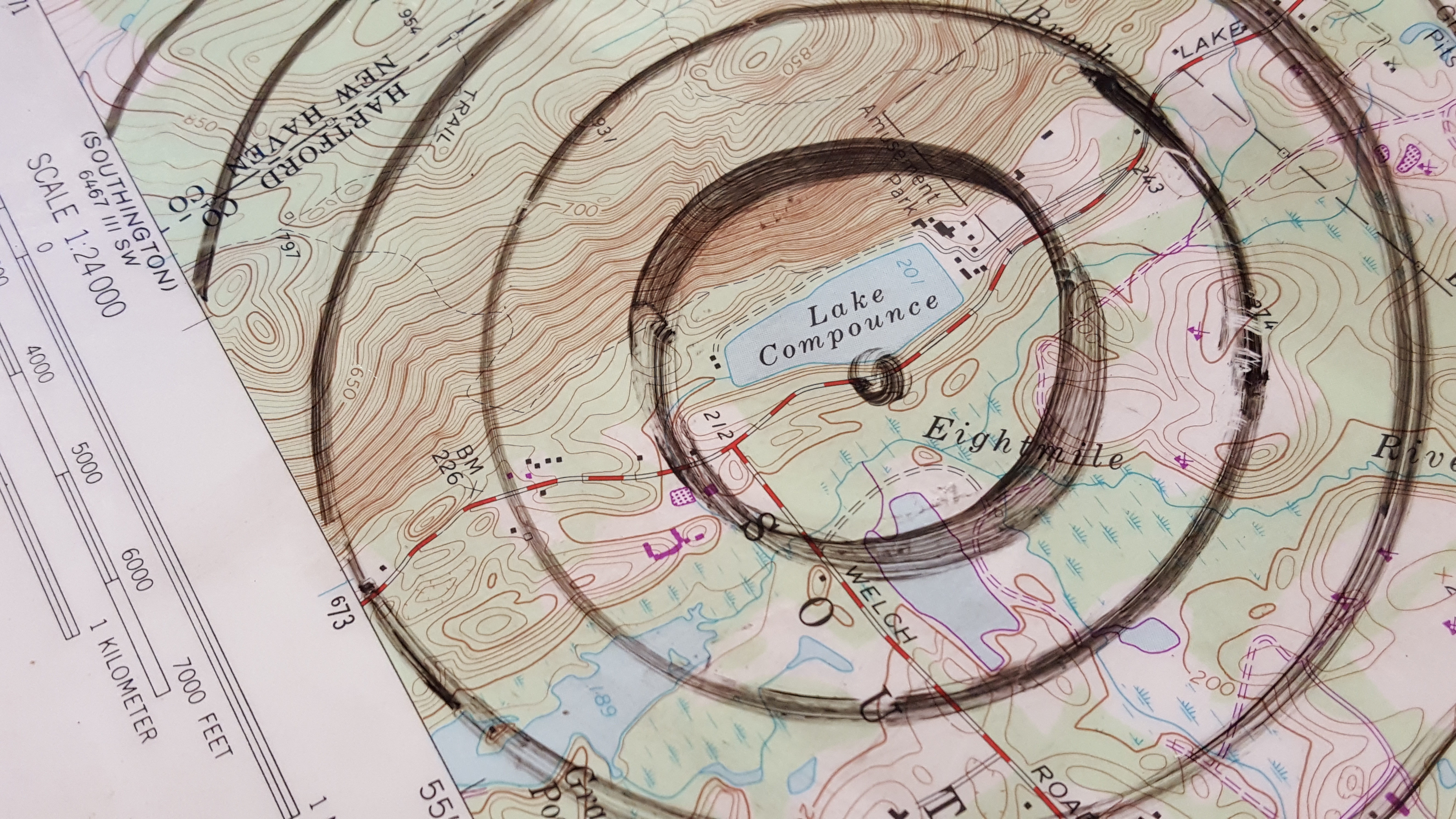 Mapping Resources
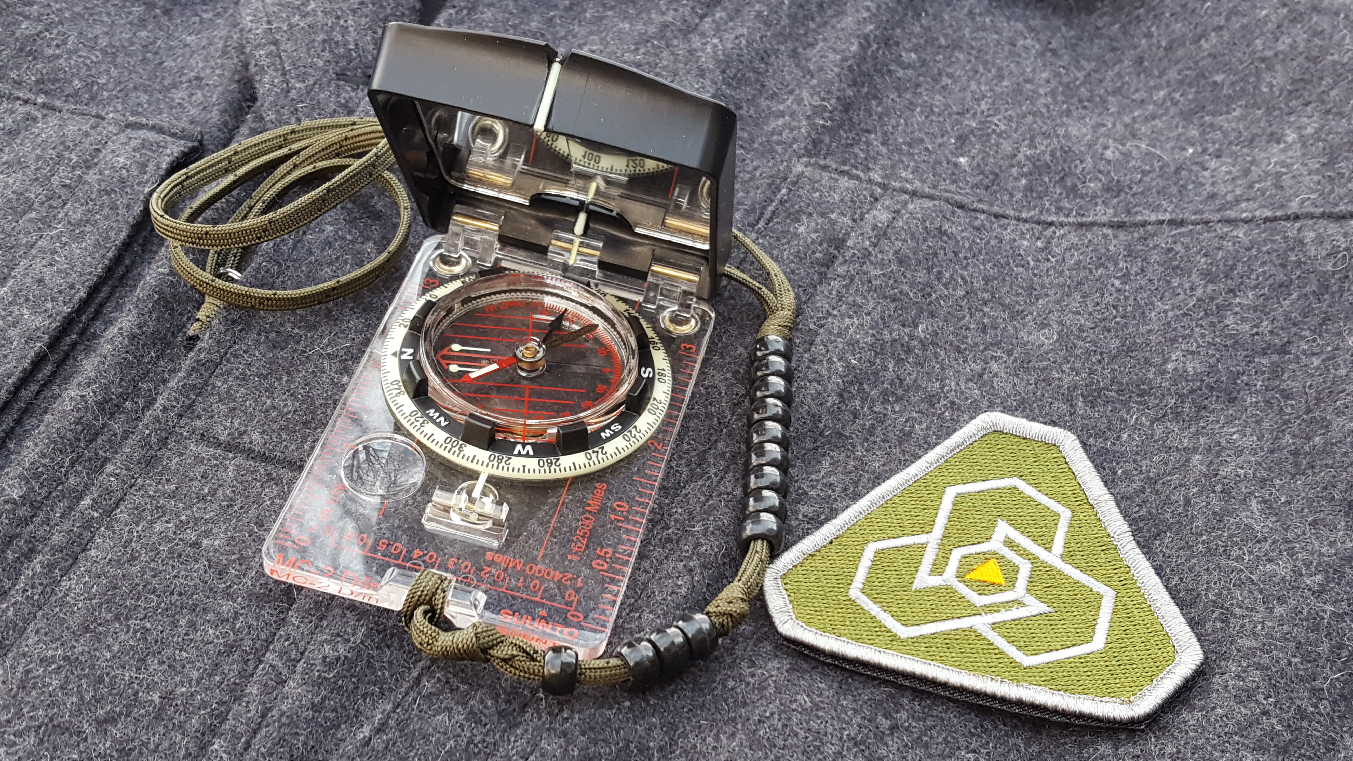
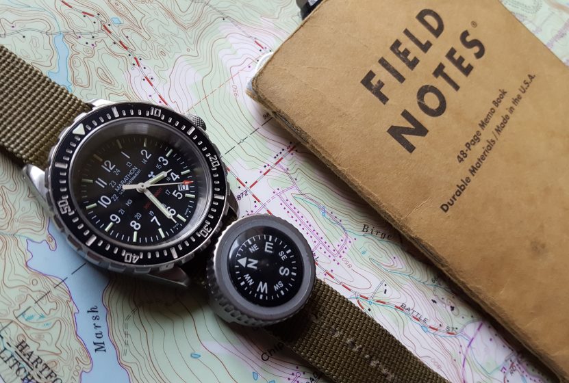
Most people are familiar with standard USGS topographic maps. These are the bread and butter for land navigation and they’re sold online in various scales. These maps provide elevation detail as well as the land and water features one should recognize while navigating through the backcountry. Topographic maps are a wealth of information one could never accumulate on their own in a single lifetime. From the urban to the suburban and rural environment, these maps provide users with an understanding of where critical resources are. From running water to the nearest hospital to where the tallest point, and where the most traveled road is, topo maps have a wealth of information for the outdoorsman to utilize.
These maps have an endless list of assets and liabilities if you know what to look for. They also can help a person identify cardinal directions from a given point. For example, in Los Angeles you know you’re traveling North if the coast or sunset is on your left. Knowing landmarks and the directions roads are oriented in your area will allow you to quickly travel in a given direction without having to consult a compass. Other maps will supplement the topo map but they can’t replace them.
An excellent habit to develop is mapping resources from your location in concentric rings outwards. Using your map scale, create rings in various radiuses and know what is available from your location a quarter mile out, half mile and so on. If your map is laminated, these rings can be drawn with a wet erase marker otherwise a photocopied section of map can be drawn on with a pen or pencil. Know which direction to travel for each asset sought after and know which way not to travel to avoid danger. Practice this exercise in your hometown and apply it whenever you travel. Overseas, this practice makes sense and helps a traveler identify police stations, the embassy and airport/dock locations. A good map gives the traveler advanced knowledge of their area and what can be expected when they touch the ground.
Doing Your Research
The internet is a wonderful place for the aspiring adventurer. Foodies can search numerous sites to check on restaurant ratings and there are plenty of discussion groups online for travelers to discuss dive spots, hikes, and so on. When used properly, the internet can give the traveler information beyond what the standard topographic map can provide. Google Earth gives a street and satellite view of the landscape and lets the user experience the area before they experience it for the first time.
Social media sites also can give you plenty of photos taken by tourists and travelers. These photos are often more recent than the highly processed photos some venues and attractions have manufactured to look seemingly perfect. Photos can be cut and pasted to supporting documents. If a picture speaks a thousand words, these photos can offer a glimpse into your destination and waypoint in a way that a written description can’t provide. Any additional information can be added to maps and information packets to create a more thorough portfolio of the area you will be in. 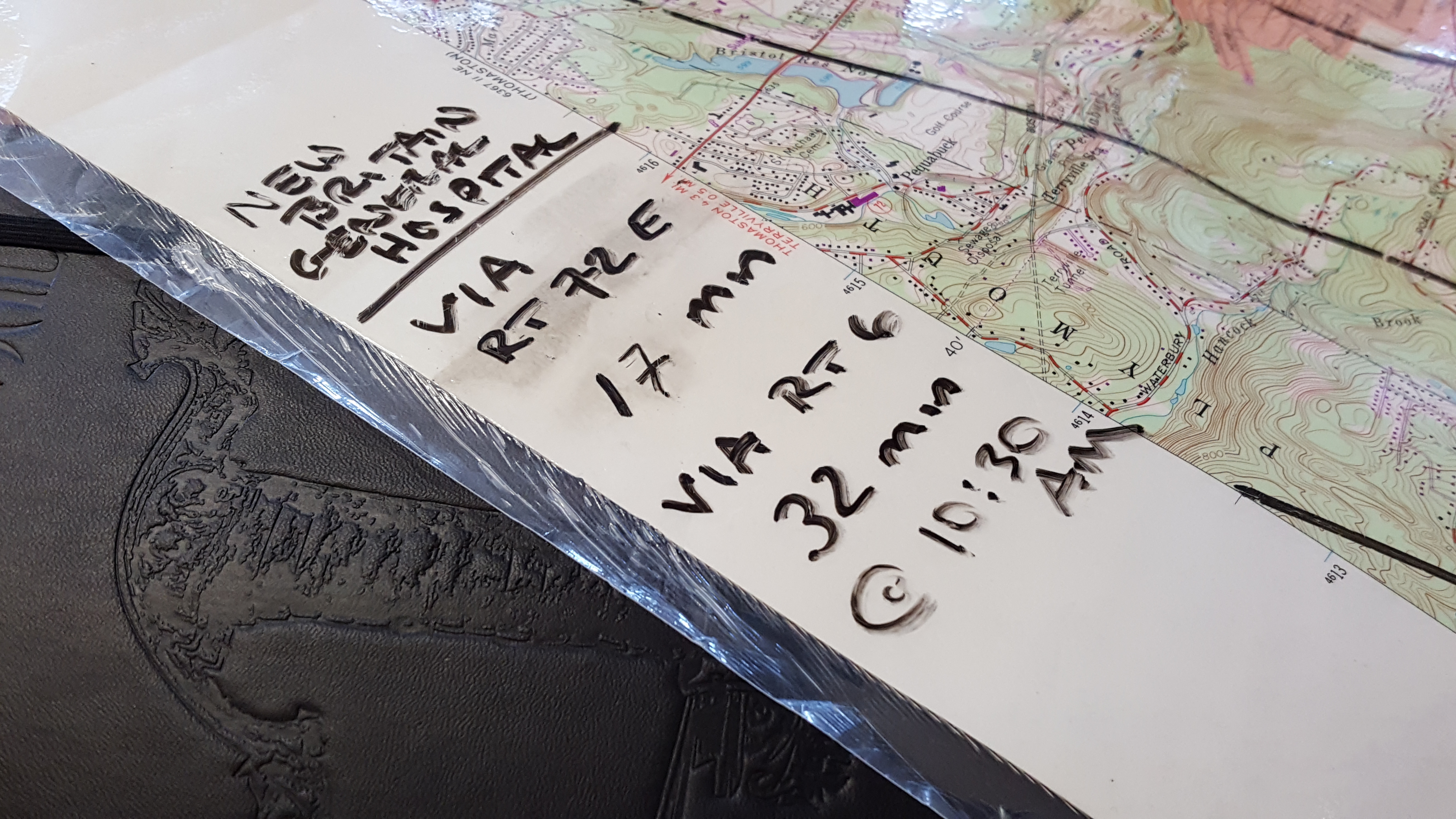 Moving Pieces
Something worth considering in any map recon are the movable pieces. Maps cannot adequately show populations and how they move about. In an emergency, people move from danger on foot, bicycles, cars and mass transportation. Using a map, we can identify heavy highways as well as powerline routes and their corridors. Using driving direction apps, we can determine what the average time is from point A to point B anytime of day in traffic from the comfort of our home.
Unfortunately, we can’t always predict what populations will do when under duress such as during a natural disaster. We can figure out what these routes look like digitally and on paper and must hypothesize what they’ll be like in reality. This information can also be combined in a single map or document. Travel times can be listed for quick reference in a supplemental key. For example, these times could look like, “Hotel to airport via interstate: 40 minutes. Hotel to airport via route 123: 1 hour”. These times will vary and each route should always have a backup route as travel routes can change. Finding these routes in the moment may prove difficult but with a good map recon, they can be traveled mentally many times over before they are physically traveled.
In Practice
In Sayoc Kali, the martial arts system in which I train/instruct, we routinely are tasked with creating security documents for various venues. Much of what I’ve described thus far is common practice in our organization. We are more than a martial arts system, we’re a total system with the goal of saving lives. Without going into too many specifics, we train in map reconnaissance and security. We establish known neighborhoods and their respective characters to know where our events take place. We research local crime and known local hazards. We identify choke points, egress routes and rally points in all directions in case we need to change our course. Our security teams compile information from numerous sources and rely on the expert advice of professionals who are responsible for executive protection operations. We believe if a person can learn to protect a group, they can protect their family and themself too.
When you are traveling by yourself either domestically or abroad, you can take steps to increase your own security as police are not there to be your personal bodyguard. Map recon is a real skill set in the art of fieldcraft and it’s one people don’t practice frequent enough to ensure greater survivability in hostile environments.
A map can be “just a piece of paper” until you ask the right questions and analyze the data it provides. Map reading is an important part of fieldcraft and this means being more resourceful than having all the resources. As you can see, whether in a large city or the back country, in this age of over reliance on technological devices, a simple piece of paper with the correct information on it can be the determining survivability factor during an emergency.